Portfolio map
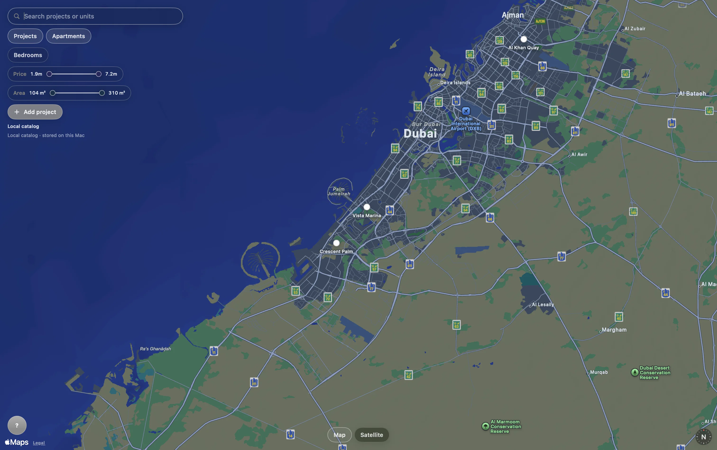
See every site and project in geographic context, from a full-market view to a single address.
Spatial intelligence for real estate
EstateAtlas brings portfolios, project records, units, media, and teams into one spatial workspace built for the people moving developments forward.
01 / The workspace
Move from a city-wide view to the exact project, unit, image, or model your team needs—without losing the context around it.
02 / Core system
One deliberate system for the information development teams already manage across maps, spreadsheets, folders, and messages.
See every site and project in geographic context, from a full-market view to a single address.
Keep the structure, status, and essential details of every development close at hand.
Connect visual material to the place and project it belongs to.
Narrow a portfolio by the criteria that matter and reach the right record quickly.
Give the people around a portfolio a shared, current view of the work.
Bring existing project data in and keep it useful beyond EstateAtlas.
03 / From place to decision
EstateAtlas keeps location, inventory, and project knowledge in one continuous line of sight.
Start with the map and move naturally from territory to site.
Read project details, inventory, and visual context together.
Keep teams aligned around the same current project record.
Primary / Development teams
For teams that need to see where every development stands, understand what sits inside it, and keep portfolio knowledge usable from acquisition through delivery.
Keep every project and what sits inside it in one current view.
Present and navigate projects with a sharper sense of place.
Reach the right asset and its context without searching across disconnected folders.
Limited pilot · macOS
EstateAtlas is a paid product now opening to a small group of development teams. Apply for the pilot and help us refine it around real portfolios.
Join the pilot